


基于视差的高分辨率立体影像建筑区协同检测研究
项目介绍
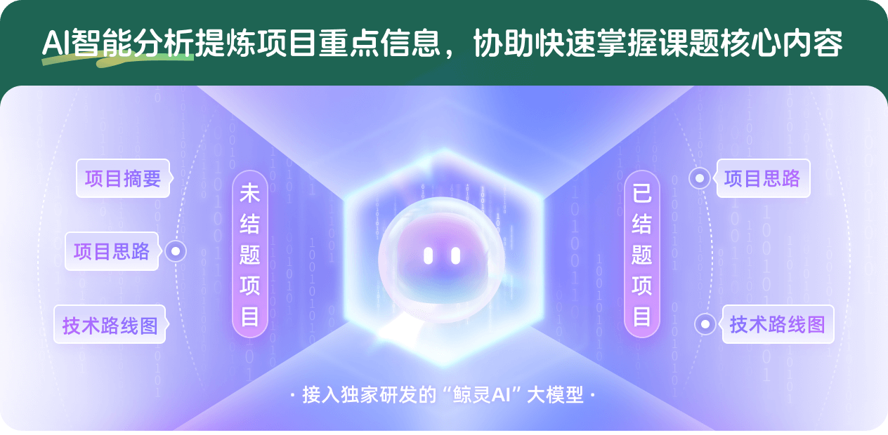
AI项目解读
基本信息
- 批准号:41701511
- 项目类别:青年科学基金项目
- 资助金额:26.0万
- 负责人:
- 依托单位:
- 学科分类:D0113.遥感科学
- 结题年份:2020
- 批准年份:2017
- 项目状态:已结题
- 起止时间:2018-01-01 至2020-12-31
- 项目参与者:谭文霞; 余文昌; 李卓凡; 吴怡欣;
- 关键词:
项目摘要
High-accuracy built-up area information has important significance for city planning, construction and management. The within-class spectral variation and between-class spectral confusion in remotely sensed imagery degrade built-up detection performance, while the performance can be increased by using height information achieved from stereo imagery. However, the rule of height variation in built-up areas is unrevealed now. The difference and the relationship among the same built-up area in the images having different viewing angles are undisclosed. It is also unknown that where great performance gain can be achieved by stereo imagery during built-up area detection. To address these problems, built-up areas are collaboratively detected from high-resolution stereo imagery based on the stereo-extracted disparity in this research project. The key research questions are as follows. (1) The rule of disparity variation in built-up areas is revealed, and then is used for improving the stereo pair disparity index (SPDI) proposed by the project principal to indicate built-up areas in stereo imagery. (2) A high-accuracy method of collaboratively detecting built-up areas from stereo imagery is proposed, using SPDI and planar features extracted from the images having different viewing angles. The relationship among these images is established by using the stereo-extracted disparity. (3) The scene types for which stereo imagery has a distinct advantage in terms of improving built-up area detection accuracy are disclosed. This research project introduces the new notion and method of detecting built-up areas from stereo imagery, and will enhance the application level of stereo imagery for built-up area detection. This research project has important theoretical value and practical significance.
高精度的建筑区信息对于城市规划、建设与管理具有重要的应用价值。遥感影像的“同物异谱,异物同谱”现象降低了建筑区检测精度,而立体影像蕴含的高度信息能提高检测精度。但是,目前对建筑区的高度变化规律理解不足,不明确同一建筑区在不同观测视角影像之间的差异和联系,也不明确立体影像建筑区检测精度有显著优势的地区。针对这些问题,本项目开展基于视差的高分辨率立体影像建筑区协同检测研究,主要内容包括:(1)研究建筑区的视差变化规律,并优化申请人提出的立体像对视差指数(SPDI)以便较好地反映建筑区;(2)研究利用视差建立不同观测视角影像之间的联系,并提取它们的SPDI和平面特征进行立体影像建筑区协同检测的高精度方法;(3)研究并确定立体影像建筑区检测精度有显著优势的研究区场景类型。本项目研究成果将为立体影像建筑区检测提供新思路和方法,提高立体影像在建筑区检测方面的应用水平,具有重要的理论价值和实际意义。
结项摘要
高精度的建筑区信息对于城市规划、建设与管理具有重要的应用价值。遥感影像是获取建筑区信息的重要数据源,但遥感影像的“同物异谱,异物同谱”现象通常制约了建筑区检测精度。高分辨率立体测绘卫星和敏捷成像卫星采集了大量立体影像,它们所蕴含的高度信息有利于获取高精度建筑区信息。本项目开展了基于视差的高分辨率立体影像建筑区协同检测研究。分析了建筑区与非建筑区所处的不同地形和包含的不同地物,挖掘了建筑区的高度变化规律,优化了立体像对视差指数(SPDI),能较好地反映高分辨率立体影像的建筑区。对于建筑区在立体影像的不同观测视角影像之间的视觉差异与不同的投影差,利用立体影像的匹配视差建立了它们之间的联系,提出了基于SPDI的高分辨率立体影像建筑区协同检测方法,以及提出了斜视投影下的融合高度与平面特征的立体影像建筑区检测方法,实现了高分辨率立体影像建筑区高精度检测。对比了立体影像和普通单视影像应用于代表性研究区的建筑区检测精度,明确了立体影像比普通影像在建筑区检测精度上有显著优势的研究区场景类型。对于包含大量纹理单一、尺寸高大建筑物的平坦地形研究区,立体影像通常比普通单视影像有显著的建筑区检测精度优势。本项目研究成果能为合理选择和高效利用高分辨率立体影像进行高精度建筑区检测提供技术支持,有利于提高立体影像在建筑区检测方面的应用水平。
项目成果
期刊论文数量(4)
专著数量(0)
科研奖励数量(0)
会议论文数量(2)
专利数量(0)
Stereo Image Retrieval Using Height and Planar Visual Word Pairs
使用高度和平面视觉词对进行立体图像检索
- DOI:10.1109/lgrs.2017.2751614
- 发表时间:2017-09
- 期刊:IEEE Geoscience and Remote Sensing Letters
- 影响因子:4.8
- 作者:Feifei Peng;Jing Luo;Gaoqiang Wang;Kunlun Qi
- 通讯作者:Kunlun Qi
Content-based search of earth observation data archives using open-access multitemporal land cover and terrain products
使用开放获取的多时相土地覆盖和地形产品对地球观测数据档案进行基于内容的搜索
- DOI:10.1016/j.jag.2019.05.006
- 发表时间:2019-09
- 期刊:International Journal of Applied Earth Observation and Geoinformation
- 影响因子:7.5
- 作者:Feifei Peng;Le Wang;Shengyuan Zou;Jing Luo;Shengsheng Gong;Xiran Li
- 通讯作者:Xiran Li
Polycentric Circle Pooling in Deep Convolutional Networks for High-Resolution Remote Sensing Image Recognition
用于高分辨率遥感图像识别的深度卷积网络中的多中心圆池化
- DOI:10.1109/jstars.2020.2968564
- 发表时间:2020
- 期刊:IEEE Journal of Selected Topics in Applied Earth Observations and Remote Sensing
- 影响因子:5.5
- 作者:Qi Kunlun;Yang Chao;Hu Chuli;Guan Qingfeng;Tian Wenwen;Shen Shengyu;Peng Feifei
- 通讯作者:Peng Feifei
数据更新时间:{{ journalArticles.updateTime }}
{{
item.title }}
{{ item.translation_title }}
- DOI:{{ item.doi || "--"}}
- 发表时间:{{ item.publish_year || "--" }}
- 期刊:{{ item.journal_name }}
- 影响因子:{{ item.factor || "--"}}
- 作者:{{ item.authors }}
- 通讯作者:{{ item.author }}
数据更新时间:{{ journalArticles.updateTime }}
{{ item.title }}
- 作者:{{ item.authors }}
数据更新时间:{{ monograph.updateTime }}
{{ item.title }}
- 作者:{{ item.authors }}
数据更新时间:{{ sciAawards.updateTime }}
{{ item.title }}
- 作者:{{ item.authors }}
数据更新时间:{{ conferencePapers.updateTime }}
{{ item.title }}
- 作者:{{ item.authors }}
数据更新时间:{{ patent.updateTime }}
其他文献
用激光点火辅助火花诱导击穿光谱技术实现铝合金的高灵敏元素分析
- DOI:--
- 发表时间:2013
- 期刊:光谱学与光谱分析
- 影响因子:--
- 作者:彭飞飞;周奇;陈钰琦;李润华
- 通讯作者:李润华
钛合金大型复杂件预制坯成形工艺模拟研究
- DOI:--
- 发表时间:--
- 期刊:塑性工程学报
- 影响因子:--
- 作者:杨合;彭飞飞;高涛;樊晓光;孙志超
- 通讯作者:孙志超
基于眼动特征的矿工危险感知研究
- DOI:10.13837/j.issn.1006-8309.2019.02.0004
- 发表时间:2019
- 期刊:人类工效学
- 影响因子:--
- 作者:袁晓芳;周垚;孙林辉;方颖;彭飞飞
- 通讯作者:彭飞飞
基于SOA的空间数据起源研究
- DOI:--
- 发表时间:--
- 期刊:地理与地理信息科学
- 影响因子:--
- 作者:彭飞飞;龚健雅;乐鹏
- 通讯作者:乐鹏
用大芯径石英玻璃光纤传输兆瓦级高能激光脉冲及其在双波长LA-LIBS技术中的应用
- DOI:--
- 发表时间:2013
- 期刊:光谱学与光谱分析
- 影响因子:--
- 作者:彭飞飞;李润华;陈钰琦;杨雪娇
- 通讯作者:杨雪娇
其他文献
{{
item.title }}
{{ item.translation_title }}
- DOI:{{ item.doi || "--" }}
- 发表时间:{{ item.publish_year || "--"}}
- 期刊:{{ item.journal_name }}
- 影响因子:{{ item.factor || "--" }}
- 作者:{{ item.authors }}
- 通讯作者:{{ item.author }}

内容获取失败,请点击重试
查看分析示例
此项目为已结题,我已根据课题信息分析并撰写以下内容,帮您拓宽课题思路:
AI项目摘要
AI项目思路
AI技术路线图
请为本次AI项目解读的内容对您的实用性打分
非常不实用
非常实用
1
2
3
4
5
6
7
8
9
10
您认为此功能如何分析更能满足您的需求,请填写您的反馈:
彭飞飞的其他基金
基于图的高分辨率卫星立体影像场景分类研究
- 批准号:
- 批准年份:2020
- 资助金额:55 万元
- 项目类别:面上项目
相似国自然基金
{{ item.name }}
- 批准号:{{ item.ratify_no }}
- 批准年份:{{ item.approval_year }}
- 资助金额:{{ item.support_num }}
- 项目类别:{{ item.project_type }}
相似海外基金
{{
item.name }}
{{ item.translate_name }}
- 批准号:{{ item.ratify_no }}
- 财政年份:{{ item.approval_year }}
- 资助金额:{{ item.support_num }}
- 项目类别:{{ item.project_type }}